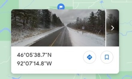
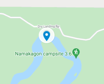
The wagon trail described in Self-guided Tour Stop 4 crosses the Namekagon River about one mile downstream from the bridge over the river described in Self-guided Tour Stop 7. The photo above was taken with a drone.
The wooden bridge was built in 1863 to improve year-round travel on what was called the Bayfield Road, which ran from St. Croix Falls to Bayfield. One source reports that the bridge was taken out by a flood in 1907.
Information from The Namekagon Bridge 1863 to 1941 by Donald L. Monson, April 2020